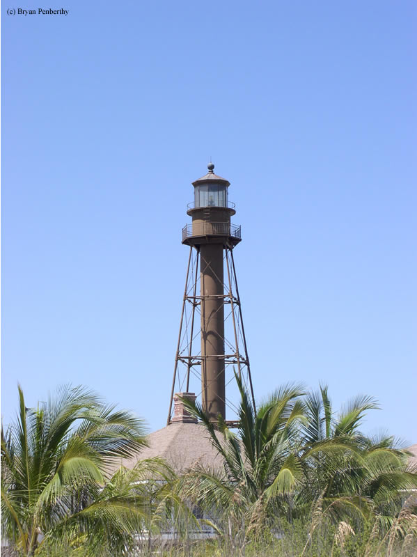
Sanibel Island Lighthouse
Sanibel Island, Florida - 1884 (1885**)

History of the Sanibel Island Lighthouse
One of the most popular places to collect sea shells on the Gulf Coast is a barrier island called Sanibel Island. Back in the mid to late 1800s, Sanibel Island would also occasionally collect a passing mariner. Due to increased shipping traffic between Key West and Tampa this frequency increased until in late 1883, the government started work on a lighthouse.
Due to occasional heavy winds and the possibility of a hurricane, the lighthouse board agreed to build the lighthouse out of iron. One hundred twenty seven steps will get you to the top of the one hundred foot tower where you would once see a 3rd-order Fresnel lens. This old lens has long since been removed in favor of a more modern optic.
Directions: From I-75, get off at the Daniel's Parkway exit and follow that west to Highway 869. Follow Highway 869 to Highway 867 across the causeway to Sanibel Island. Once on Sanibel, make a left onto Periwinkle Way and take that to the end. Once at Lighthouse Point Park, parking is available for a fee, and you can walk the short distance to the Sanibel Island Lighthouse.
Access: Grounds open. Tower closed.
View more Sanibel Island Lighthouse picturesTower Height: 102.00'
Focal Plane: 98'
Active Aid to Navigation: Yes
*Latitude: 26.45300 N
*Longitude: -82.01400 W
See this lighthouse on Google Maps.