Round Island Lighthouse
Near Mackinac Island, Michigan - 1895 (1895**)
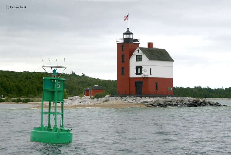

History of the Round Island Lighthouse
This lighthouse served just about 50 years before it was abandoned in favor of the new Round Island Passage Lighthouse. The tower stood vacant for nearly 30 years and even partially collapsed before a collection of citizens and Government agencies stepped in to protect it. It is now undergoing restoration and has been stabilized.
Directions: This lighthouse sits and the northern tip of Round Island and is best viewed from the water. Shepler's Ferry offers service to Mackinac Island and lighthouse cruises which provides a great view. However, distant shots are possible from Old Mackinac Point Lighthouse. From I-75 heading north, get off at exit 339. Take North Nicolet Street north. Once you cross over Huron Street, it will put you into a parking lot for the park.
View more Round Island Lighthouse picturesTower Height: 57.00'
Focal Plane: 45'
Active Aid to Navigation: Yes
*Latitude: 45.83700 N
*Longitude: -84.61700 W
See this lighthouse on Google Maps.