Presque Isle Rear Range Lighthouse
Harbor View, Michigan - 1870 (1870**)

History of the Presque Isle Rear Range Lighthouse
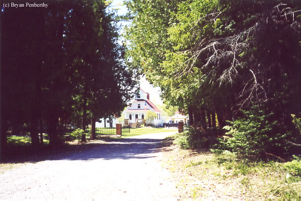
This lighthouse was originally the rear range light of the light pair. See the Presque Isle Front Range Light here. This lighthouse is private property, but you can get an decent shot from the parking lot just in front of the lighthouse.
Note: The lighthouse is private property, please respect the owner's privacy and do not trespass.
Directions: Directions: While heading south on US-23 out of Rogers City, take E 638 Highway east to Presque Isle. At the end of E 638 Highway, make a left onto East Grand Lake Road. Follow that north about .6 miles and you will see the rear range light on the left hand side back a little bit off the road.
View more Presque Isle Rear Range Lighthouse pictures
Tower Information
Tower Height: 33.00'
Focal Plane: 36'
Active Aid to Navigation: Deactivated (1960s)
*Latitude: 45.34300 N
*Longitude: -83.48700 W
See this lighthouse on Google Maps.
Tower Height: 33.00'
Focal Plane: 36'
Active Aid to Navigation: Deactivated (1960s)
*Latitude: 45.34300 N
*Longitude: -83.48700 W
See this lighthouse on Google Maps.